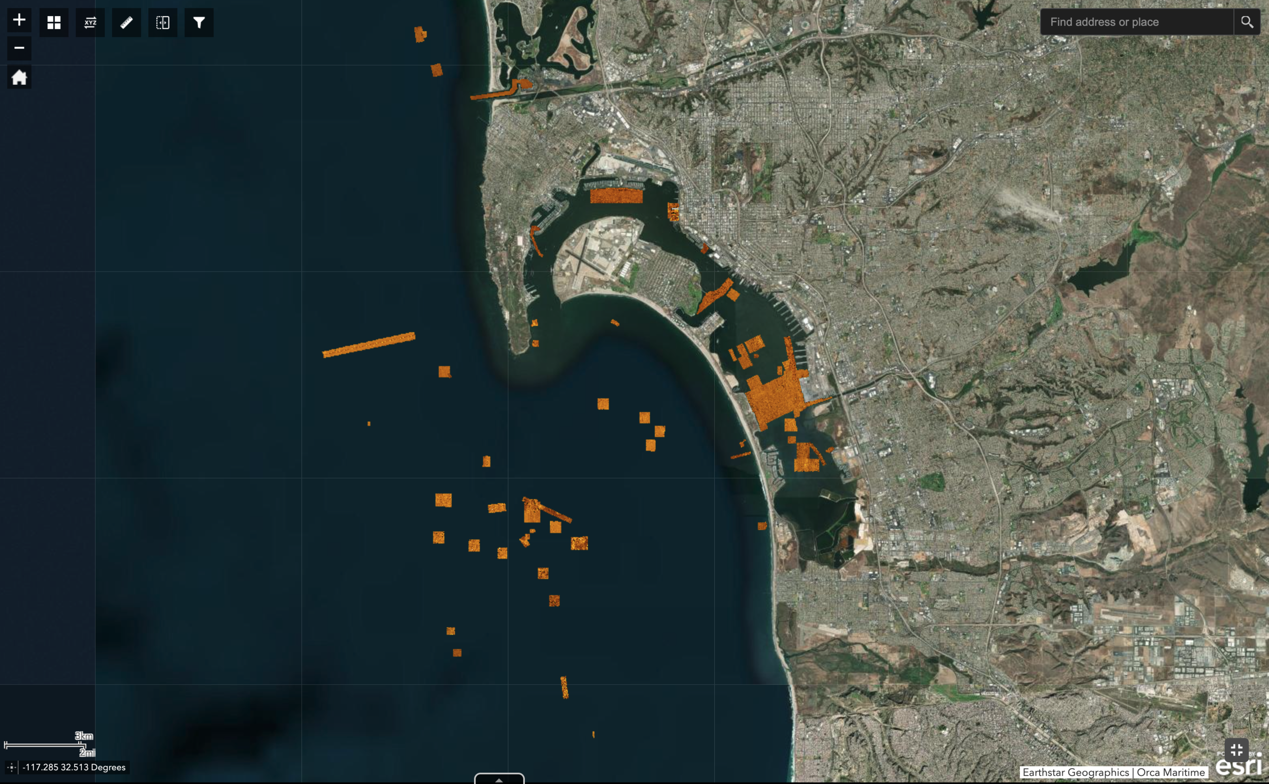
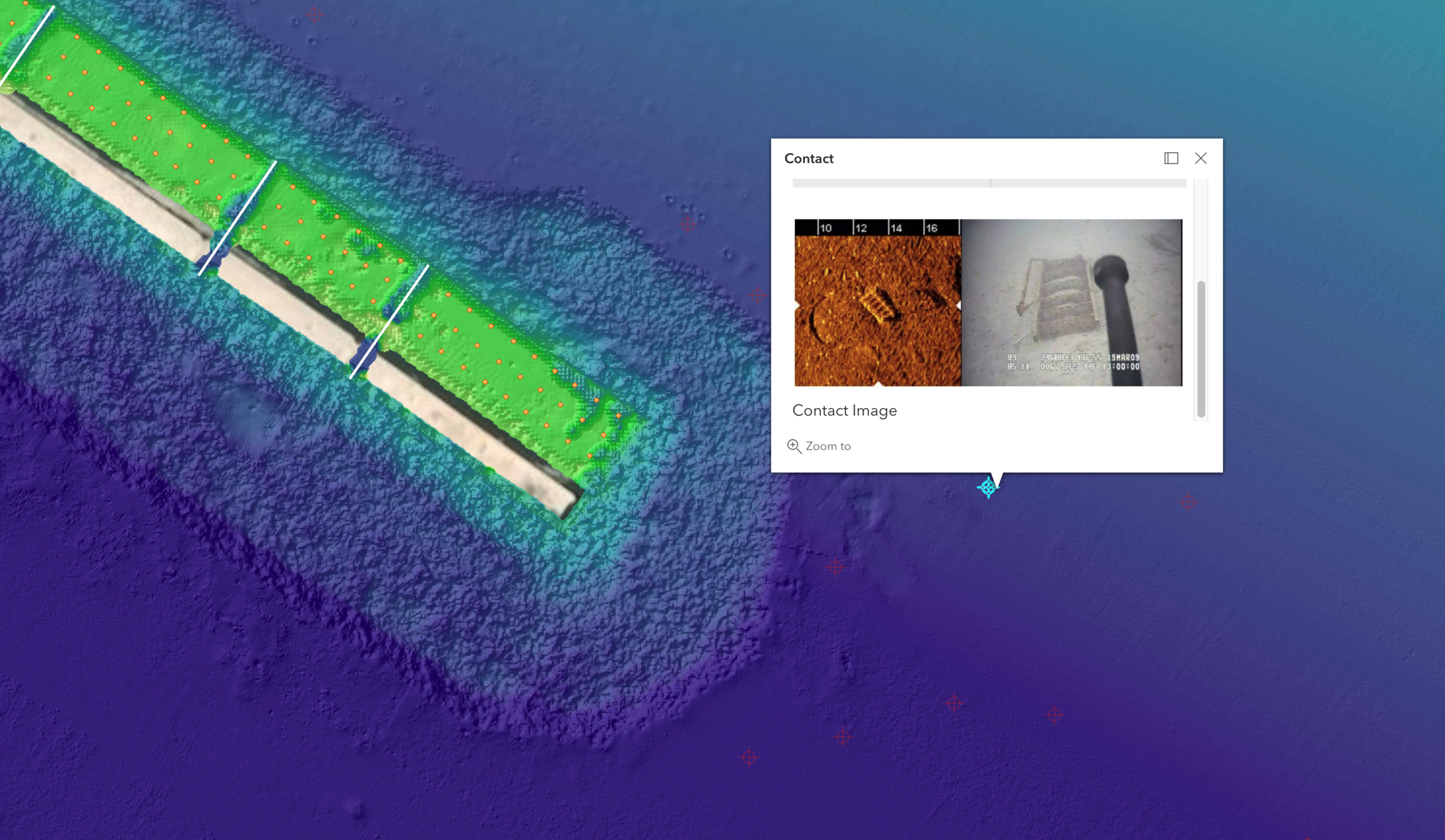
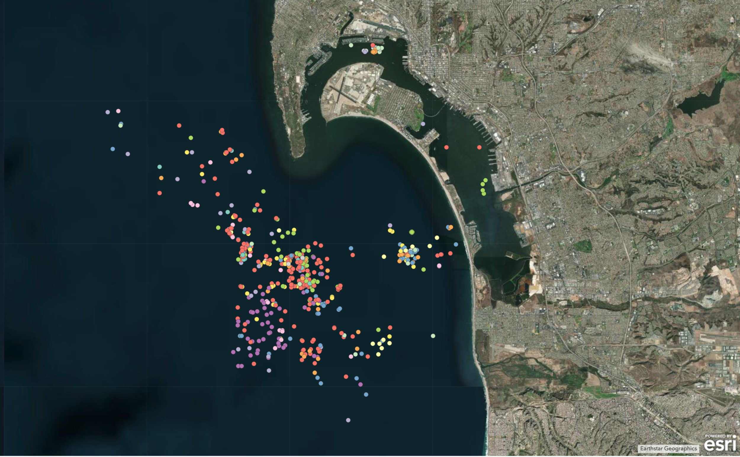
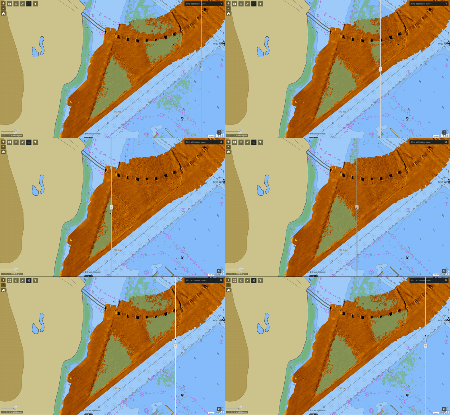
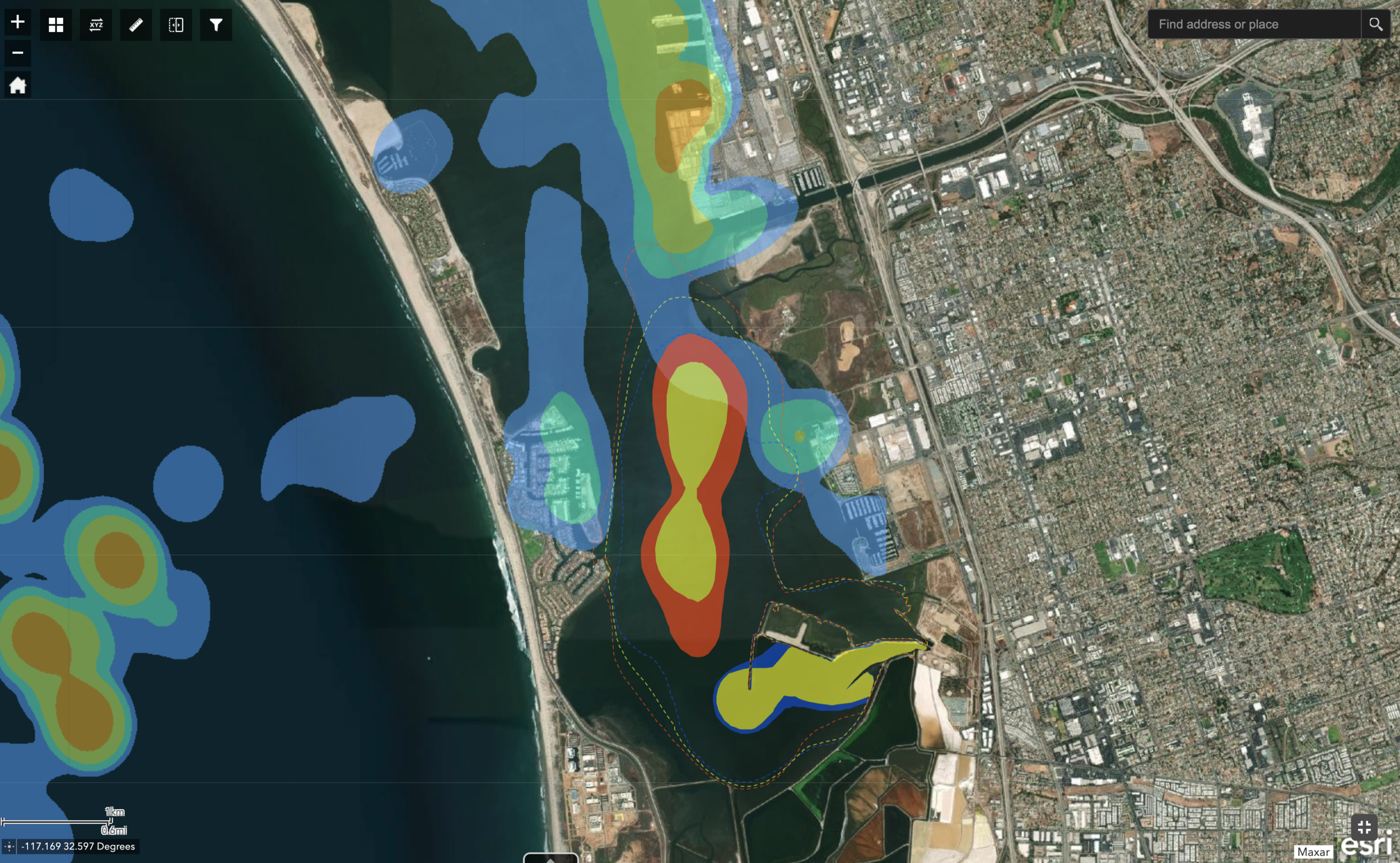
We use Geographic Information System (GIS) components to complement existing GIS databases or as stand-alone planning tools. All elements of a comprehensive underwater survey can be compiled to deliver an accurate, layered GIS. This GIS can include submerged infrastructure such as pipelines, cables and tunnels. It can also include a detailed database of bottom objects and pertinent environmental data. Using this information, a fully navigable 3-dimensional rendering of the bottom is possible, giving a clear visual reference to where objects are in relation to each other. These GIS products can support emergency action plans for port security organizations, engineering maintenance programs, and environmental protection initiatives.
